

 © Pete Saloutos/Panoramic Images (Washington Title Image Large)
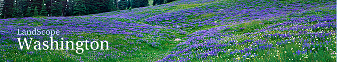
West Cascades ecoregion

Rumbling volcanoes, ancient forests, and a wealth of amphibian diversity distinguish Washington’s West Cascades ecoregion.
Location
The West Cascades ecoregion encompasses the westside midsection of the great Cascades cordillera.
In Washington, the West Cascades run southward from Snoqualmie Pass to the Columbia Gorge, the only lowland divide in the range. Across the Columbia, the West Cascades ecoregion extends south into Oregon.
The crest of the Cascades marks the ecoregion’s eastern edge. The western boundary dips to meet the foothills of the Puget Trough at about 1,000 feet. The ecoregion covers about 8% of state.
On the road map, Interstate 90 forms the north boundary of the ecoregion. Highways 12 and 410 both traverse the Cascades. Highway 14 follows the north side of the Columbia River, the ecoregion’s southern boundary in Washington.
Within the sparsely populated ecoregion lie only a few towns, among them Ashford, Morton, Packwood, Randle, and Stevenson.
For details of this ecoregion within Washington, click a subheading in the left column.
View the more general description of this ecoregion in North America
Go to the Map

Use the interactive map to zoom smoothly from a national view to state and local perspectives anywhere across the country.