Connecting Landscapes: A Practitioner's Resource for Assessing and Planning for Habitat Connectivity
What and Who is This Web Resource For?
Connectivity for wildlife and biodiversity is important for many species’ viability. A number of web resources have been developed to provide a range of information relating to habitat connectivity. This web-based guidance is intended for natural resources and conservation practitioners (managers, planners, biologists, ecologists) that need to model, assess, and plan for connectivity. While it is geared toward those that are relatively new to connectivity practice, experienced practitioners may also find value in this site to learn about new methods, tools, and resources or to contribute such information to this site; it is designed to be self-populating by the connectivity community of practice.
This resource is also intended to complement Conservation Corridor, North Carolina State University's site on the science of connectivity, as well as connectivity modeling tool websites such as Linkage Mapper, Circuitscape, Connectivity Analysis Toolkit, Corridor Design, MulTyLink, Connect, and other connectivity-related sites. Because connectivity conservation practice is rapidly evolving, users are encouraged to offer comments to help maintain the site's usefulness, either by commenting on the individual steps, or by emailing NatureServe staff.
Additional Guidance Around Habitat Connectivity
Other key resources around the science of connectivity and connectivity modeling are available. Read more...
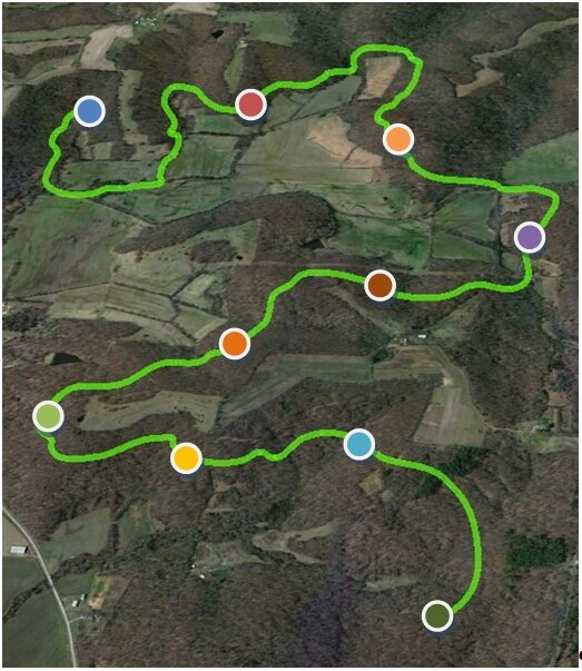
Roadmap for Assessing Habitat Connectivity
This site provides a roadmap of the major steps or activities involved in conducting a habitat connectivity assessment, as well as guidance and resources for conducting each step. The steps are framed around a modeling tool-based approach for assessing connectivity, with the caveat that expert review and involvement is a critical aspect of any kind of modeling project. Although the steps are described sequentially, they may not be completed in a solely linear fashion – some are readily done in parallel, and some parts may be iterative. Furthermore, different users may have made varying degrees of progress in developing a connectivity assessment and consequently may be at different starting points in the roadmap. You may navigate to any activity of interest to browse through it, or start at the initial step and navigate through each one sequentially. Each step includes a list of the previous steps that must be completed in order to be able to carry out the current step.
Why Assess Habitat Connectivity?
Habitat connectivity may be assessed or modeled to improve the theoretical understanding of species movement and dispersal (e.g., Hagerty et al. 2010), or general landscape permeability, or in order to address an applied management or conservation question (e.g., where should a highway underpass be placed to reduce wildlife-vehicle collisions). Applied connectivity assessments are often conducted to address one of two broad goals or needs: 1) land managers or conservation planners need to understand connectivity as part of their larger efforts to effectively conserve natural resources; or 2) there is a need to understand the impacts that infrastructure projects (e.g., roads, energy development) or other anthropogenic land or water uses may have on connectivity in order to avoid or minimize the impacts, or to restore or otherwise off-set the resulting decreased connectivity. The impacts of climate change are driving much concern about wildlife connectivity from the standpoint of facilitating climate change adaptation by species through movement to more suitable areas over time. Suggestions are embedded in the steps of the roadmap regarding the unique aspects of assessing and planning for connectivity under a changing climate.
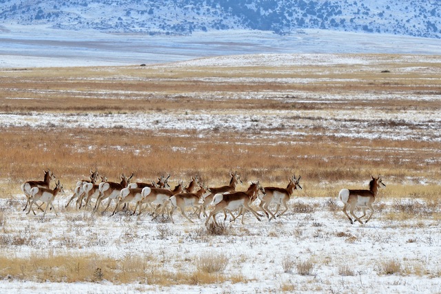
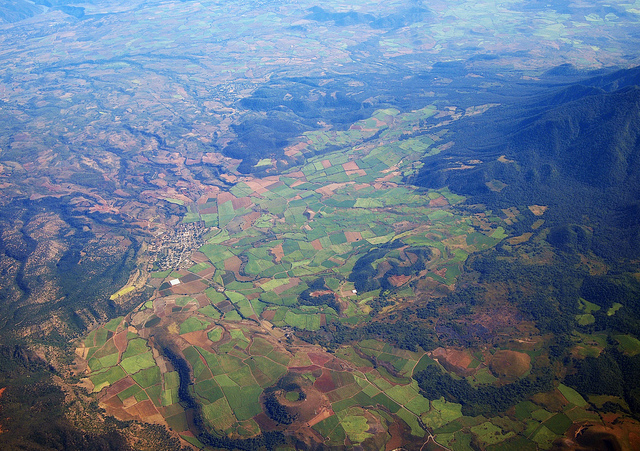
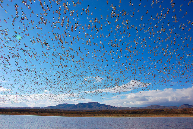
Photo credits: Larry Lamsa, John Picken, Larry Lamsa
The initial development of this website was made possible through a generous grant of the Doris Duke Charitable Foundation.
NatureServe.org homepage banner image photos by (left to right): Matt Yeager, Aivar Ruukel, Starr Hendon